Projects
A selection of my geospatial projects. Click any card to see the full write-up.
Agentic AI for Geospatial
Projects built through agentic coding workflows, applying AI-assisted development to geospatial tools and data.
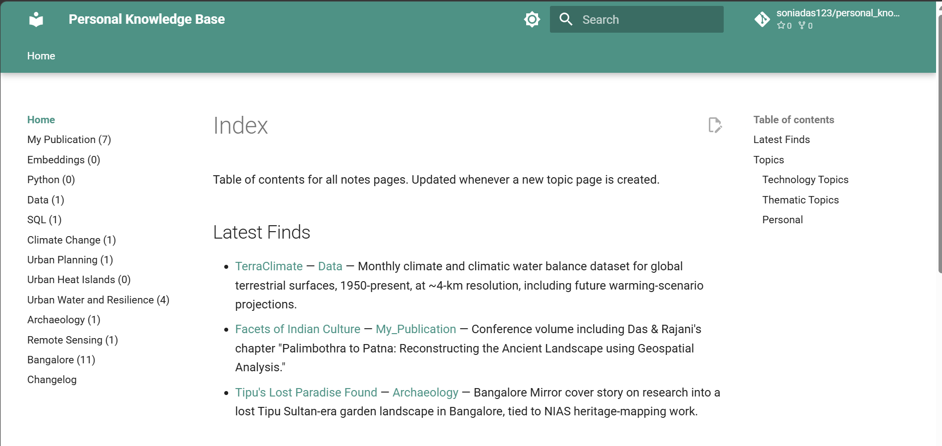
A Claude-Code-maintained notes vault that ingests raw notes, organizes them into a linked wiki of geospatial and archaeology topics, and auto-publishes to GitHub Pages via MkDocs.
Claude Code MkDocs Markdown
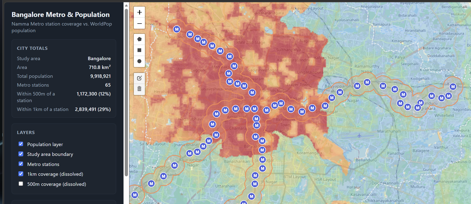
Bangalore Metro Population Map
Interactive map comparing Namma Metro station coverage against Bengaluru's population (WorldPop), with a client-side draw-a-buffer tool. Fully static, GitHub Pages deployed.
JavaScript WorldPop Leaflet
A browser-based geospatial quiz game built as a multi-page static site, guiding players through map-reading levels with persistent game state.
JavaScript HTML/CSS Game Design
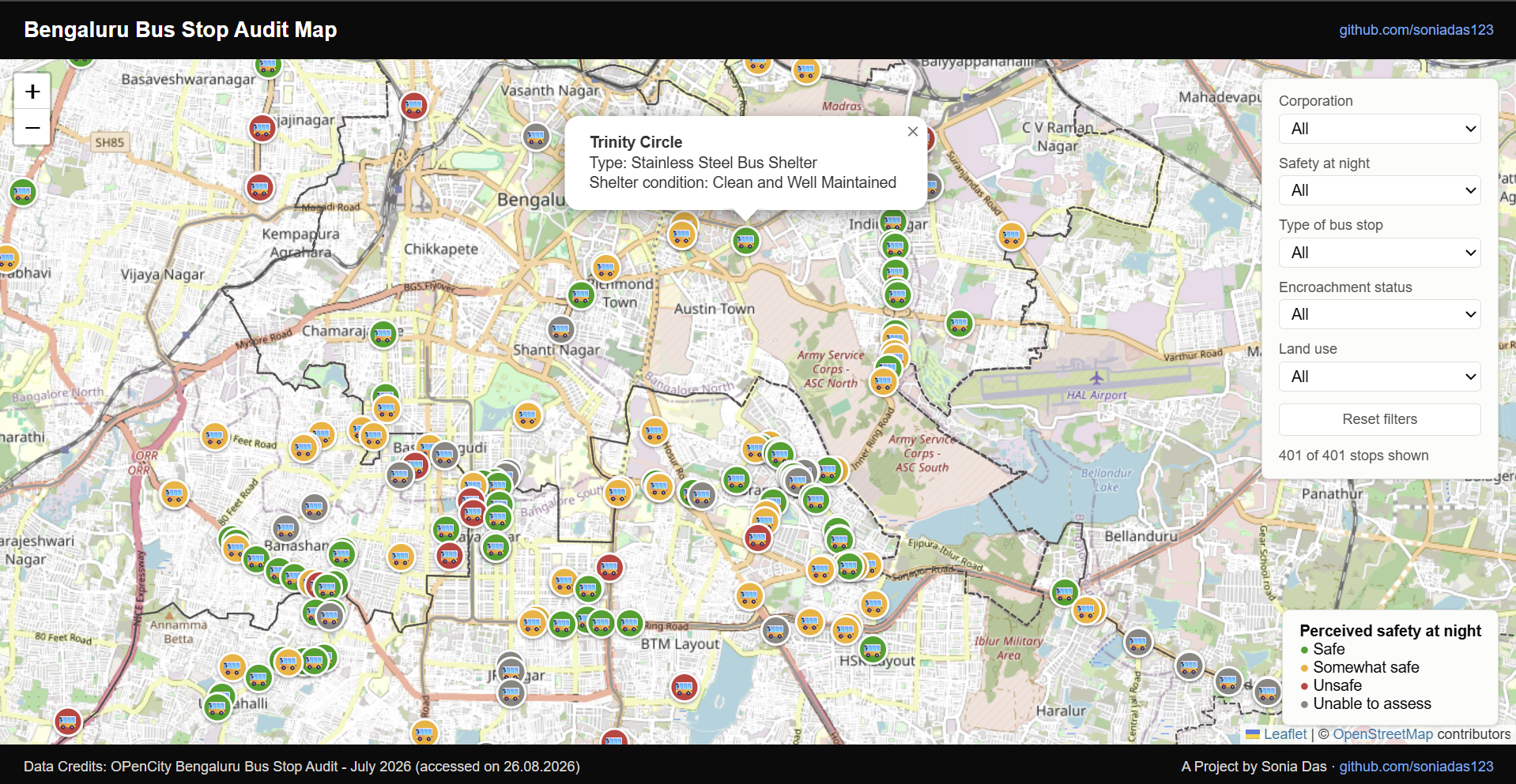
An interactive map of a volunteer-collected accessibility and safety audit of 406 Bengaluru bus stops, with filters by corporation, shelter type and night-time safety, and a live stats panel that updates with the filters.
Python Pandas/GeoPandas Leaflet
Google Earth Engine
Satellite imagery analysis and interactive web apps built in the Earth Engine Code Editor.
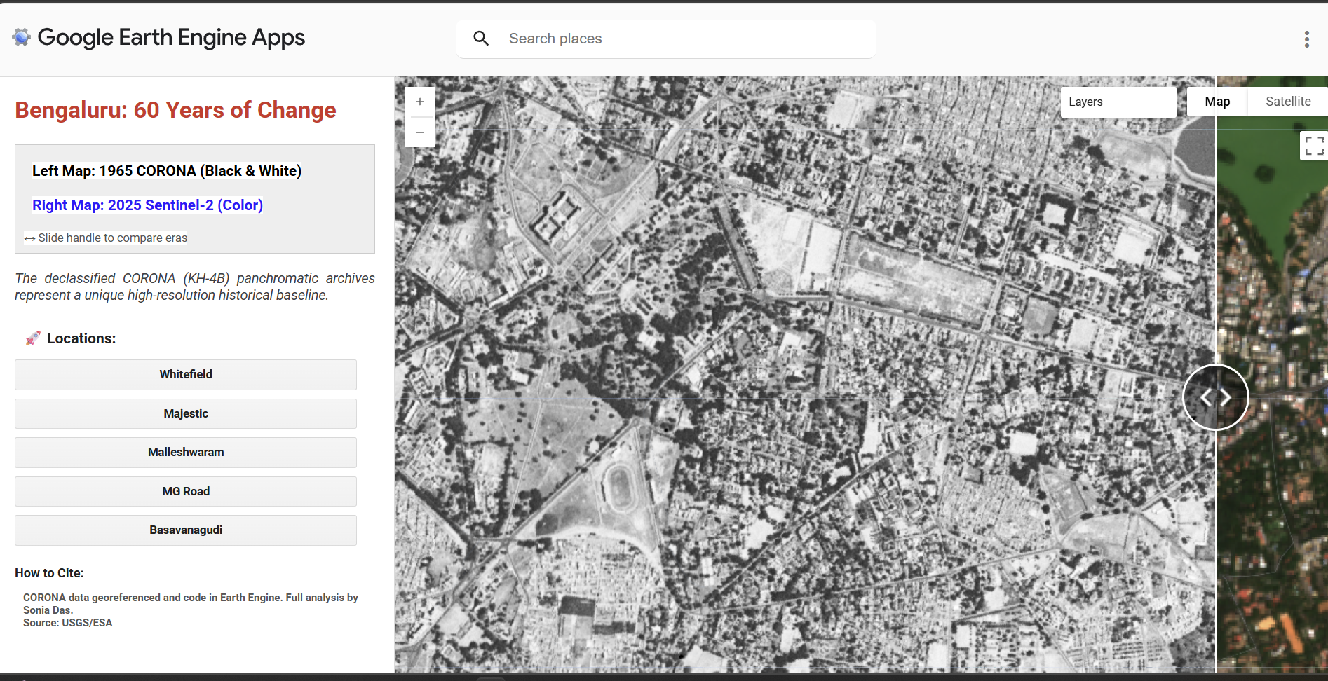
A Google Earth Engine web app visualising 1965 CORONA satellite imagery of Bengaluru to push the baseline for studying urban growth back beyond Landsat.
QGIS Google Earth Engine Python
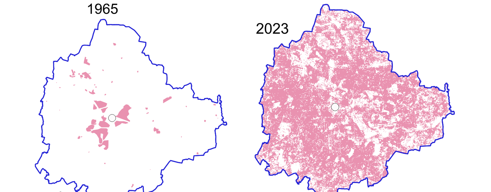
Random Forest supervised classification of Landsat and Sentinel imagery in Earth Engine, tracking Bengaluru's built-up footprint from 6,900 ha in 1965 to 44,970 ha in 2023.
Google Earth Engine Random Forest QGIS
Urban Water & Resilience
Applied and participatory work on Bengaluru's water systems, built with and for the people who use them.

Building a Resilient Bengaluru
A city-scale citizen audit of Bengaluru's stormwater drains, from ODK/KoboToolbox collection to a Python dashboard, alongside the maps behind the programme's public exhibitions.
KoboToolbox Python QGIS
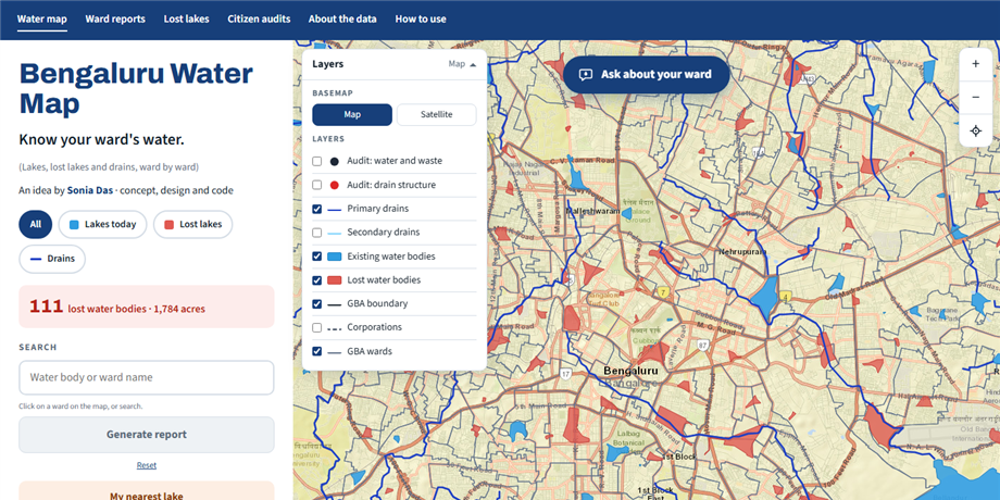
A ward-by-ward map of Bengaluru's lakes, lost lakes and stormwater drains, built on data from Building a Resilient Bengaluru. Generates printable ward reports (water bodies, drain lengths, citizen audit findings) and reports for any uploaded KML area.
Python GeoPandas Leaflet